Tonquin Valley: Miles of Mud, Mosquitoes, and Mountains
As part of a broader trip to the Canadian Rockies, my friends and I decided to tackle the Tonquin Valley Trail in Jasper National Park. The Tonquin Valley is one of the premier backpacking destinations in the Canadian Rockies but it is less trafficked than areas like Mount Assiniboine and Mount Robson. One of the reasons for this is the trail conditions. The Tonquin Valley is notorious for mud and mosquitoes. This is because of the terrain of the valley. It is flat and marshy - a perfect breeding ground for mosquitoes. Many hikers share horror stories of the hordes of mosquitoes that almost picked them up and carried them away! The mud is the other problem. The valley does not drain well due to the lack of elevation change. Lucky for us, we were going at the worst possible time for both - mid-July. This time of year is especially bad because the trail has not yet dried out from the previous year’s snow. The snow melts leaving mud on the trails and mosquitoes in the air!
For better or worse, I had warned my friends about the situation we were walking into. One of my buddies likened it to the World War I battlefield of Somme even before we got on the trail. To add to the fun, due to the massive wildfire in Jasper several years before, the Astoria trailhead was closed. This trailhead starts at a higher elevation and makes for an easier hike in than the Portal Trailhead, which is where we started.
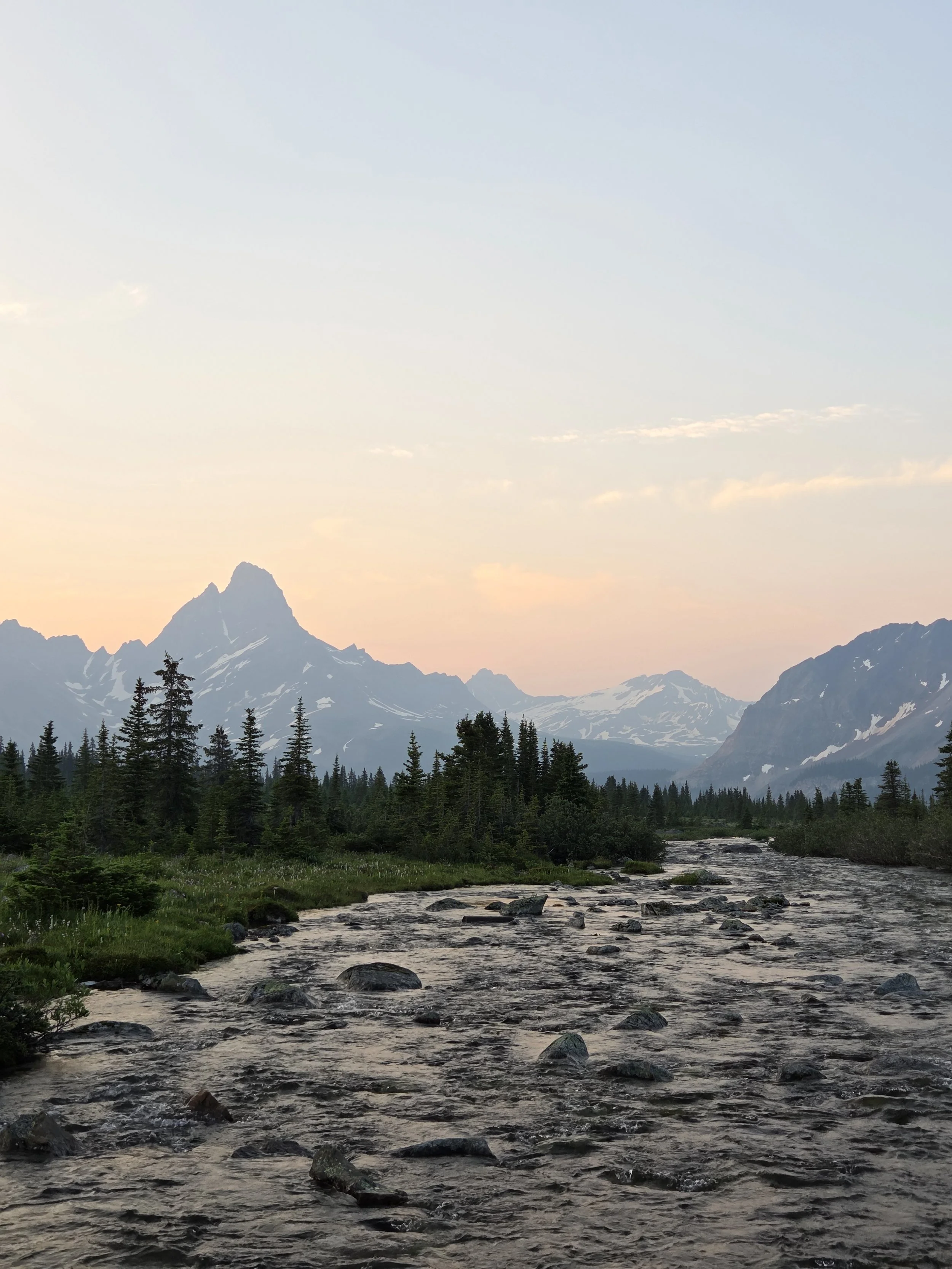
As we drove out of the valley from our campground in Jasper, we thankfully began to leave the massive burn area. Beautiful pines and spruces returned to line the final approach to the trailhead. As we started our hike, glacial-tinged Portal Creek rushed past us. It was a beautiful start to the day and the trail was in great condition! We started to wonder if my fears had been overblown!
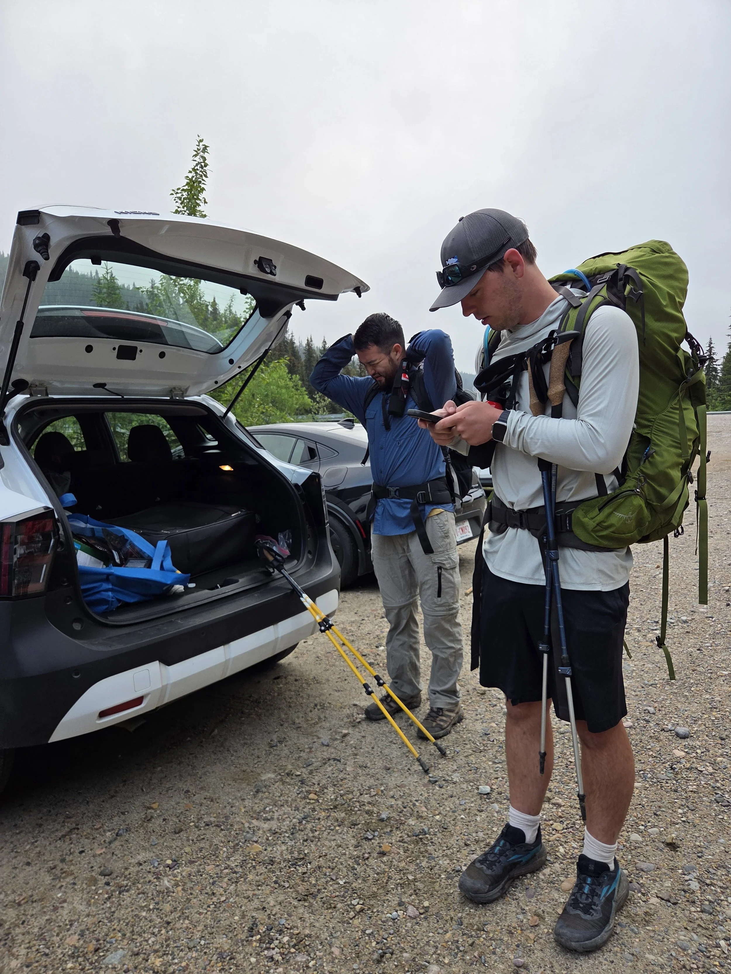
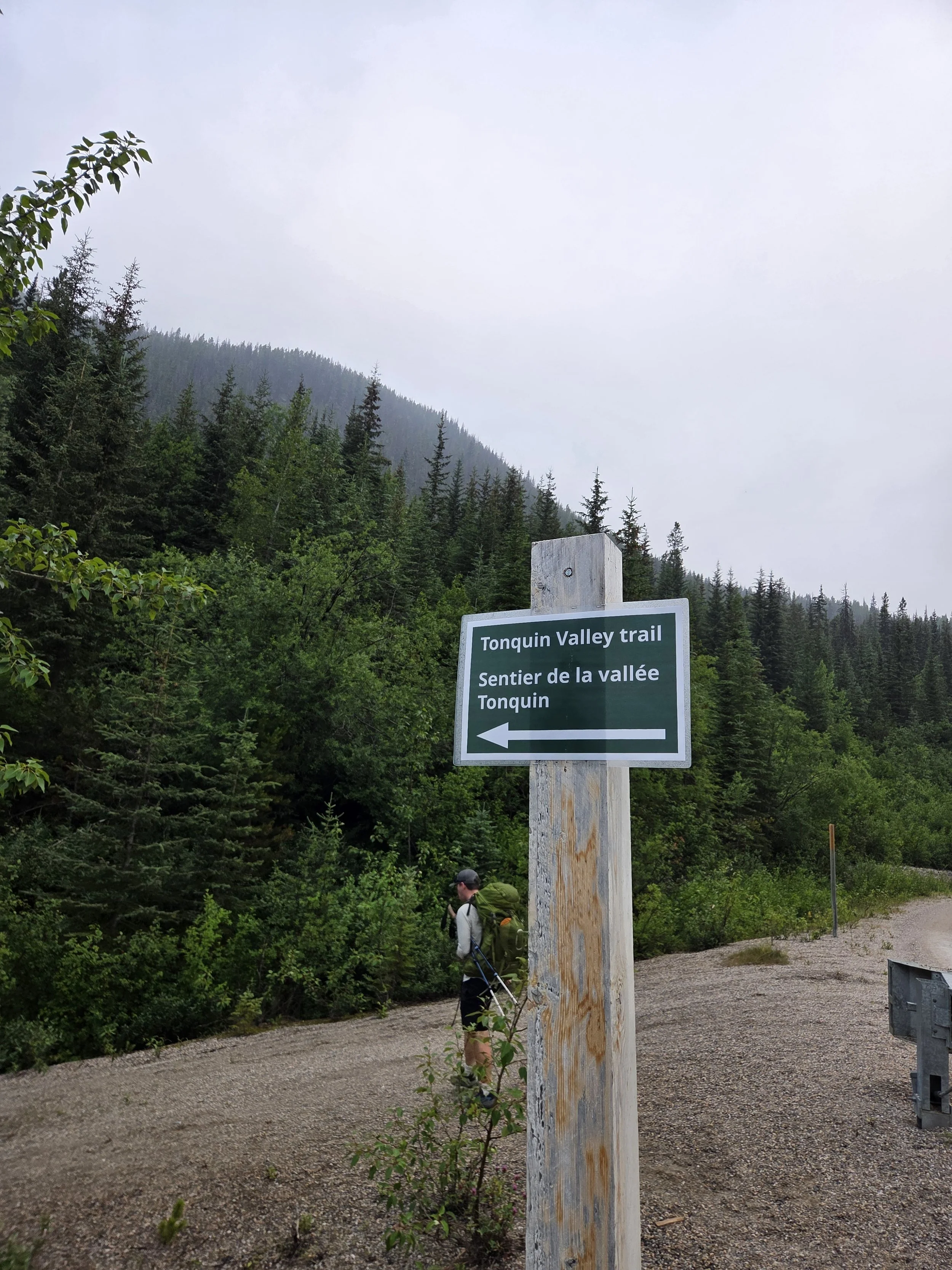
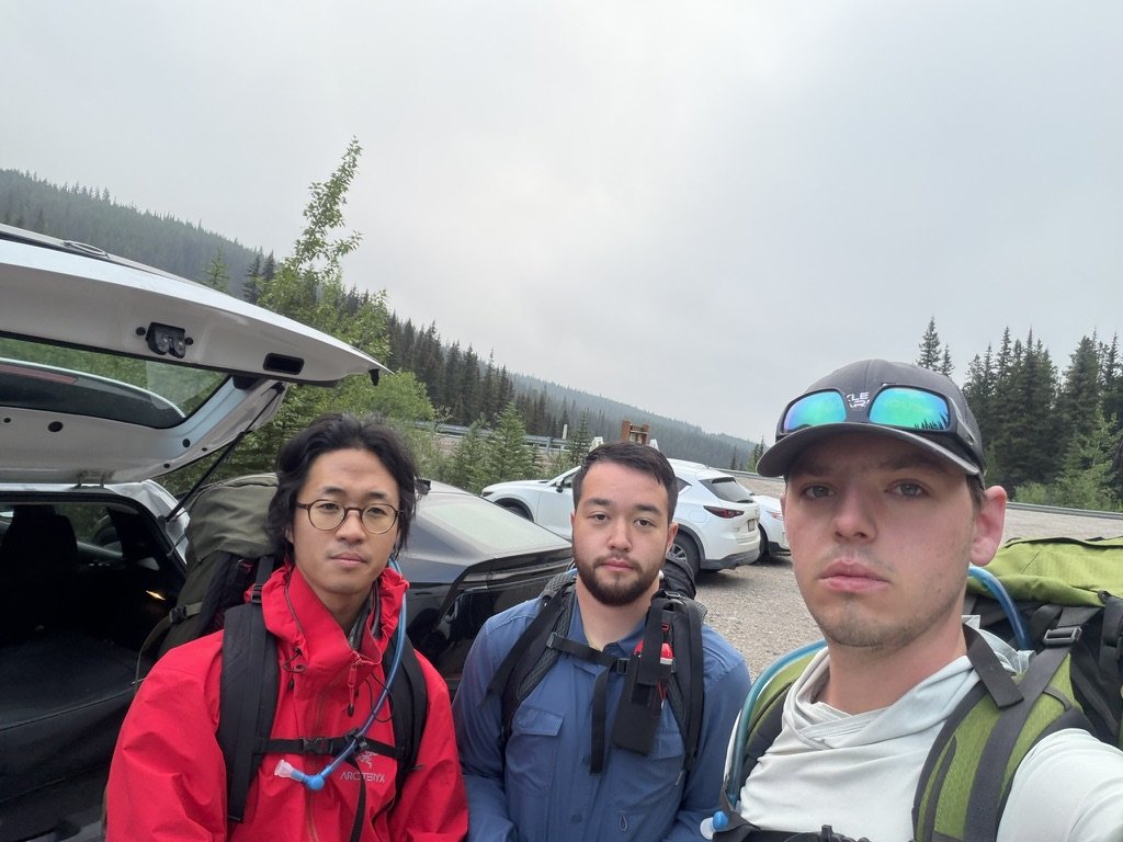
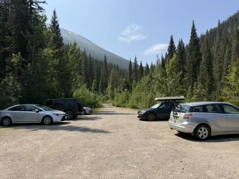
Suiting up for battle at the trailhead
As we continued to gain elevation, we reached the first campground - Portal. This was an absolutely gorgeous campground located right on Portal Creek. It offered amazing views of some of the most rugged peaks in the Jasper backcountry. While the views were amazing, we started to notice the trail becoming increasingly muddy and buggy.
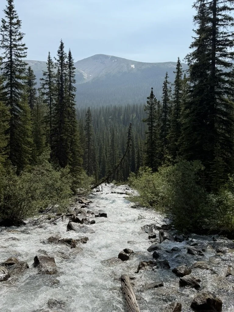
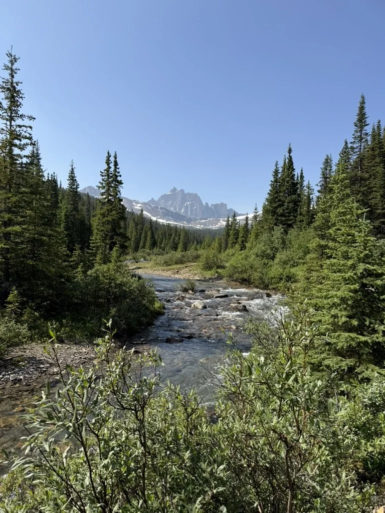
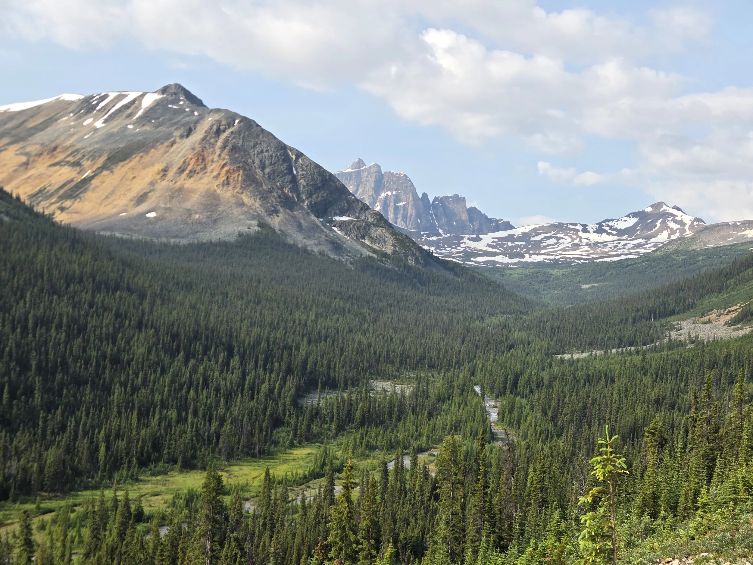
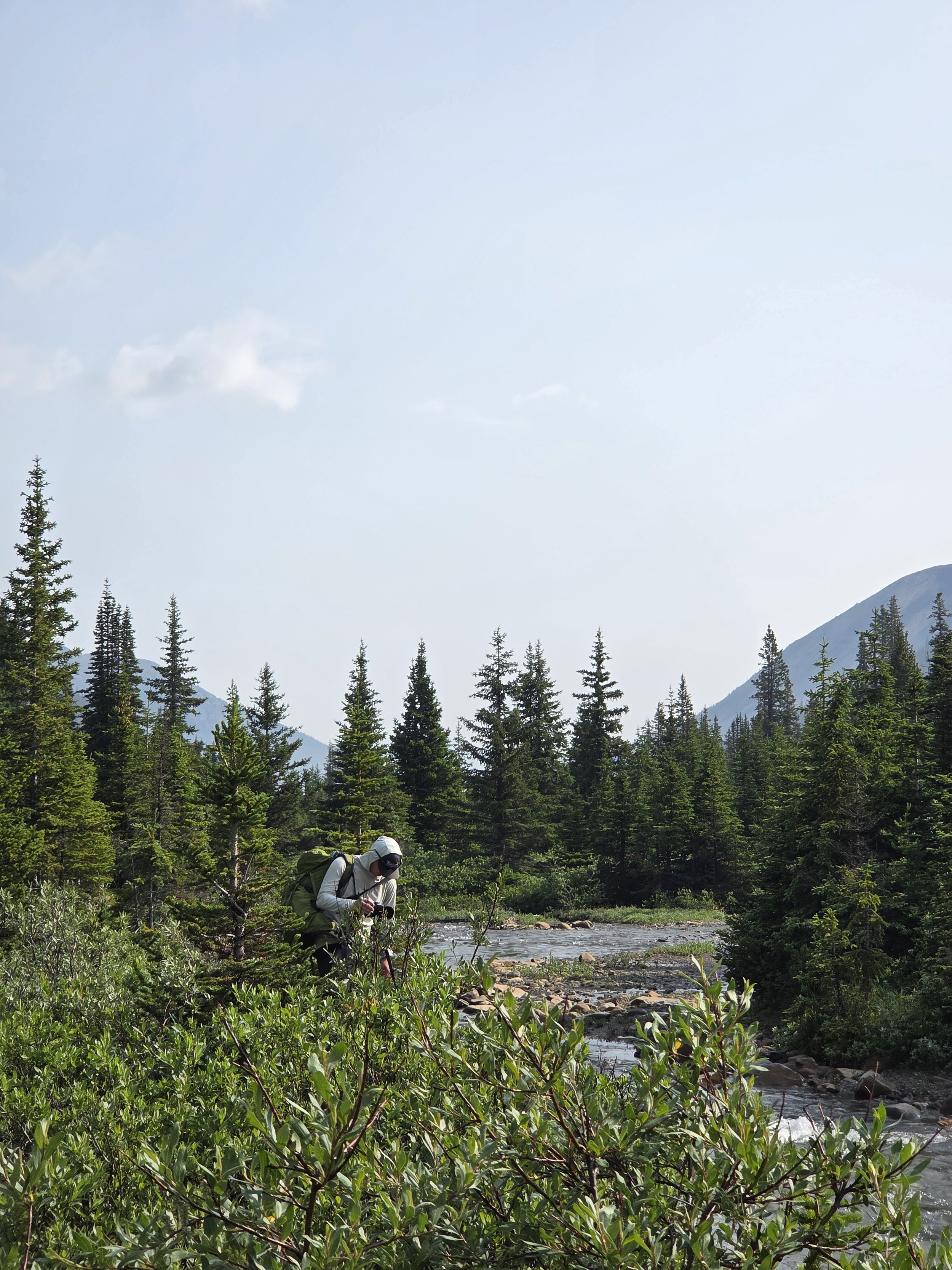
Views along the trail
After snapping some photos near the campground, we continued our climb up to Maccarib Pass, which marked the highest point on our trek at ~7,200 feet. We ate a lunch of tortillas (that was about it) and began heading down from the pass into the valley. As we descended, the trail immediately became a mud pit. Large piles of standing water and old footprints made for challenging conditions as we trekked down. We did our best to avoid the mud but it was impossible. As an added benefit, every time we stopped, the mosquitoes attacked us! However, the scenery was spectacular. The farther down we went, the better the views got. The Ramparts came into view and Maccarib Creek babbled cheerfully alongside us. I saw some fish in the creek - I’ll have to bring a fly rod next time!
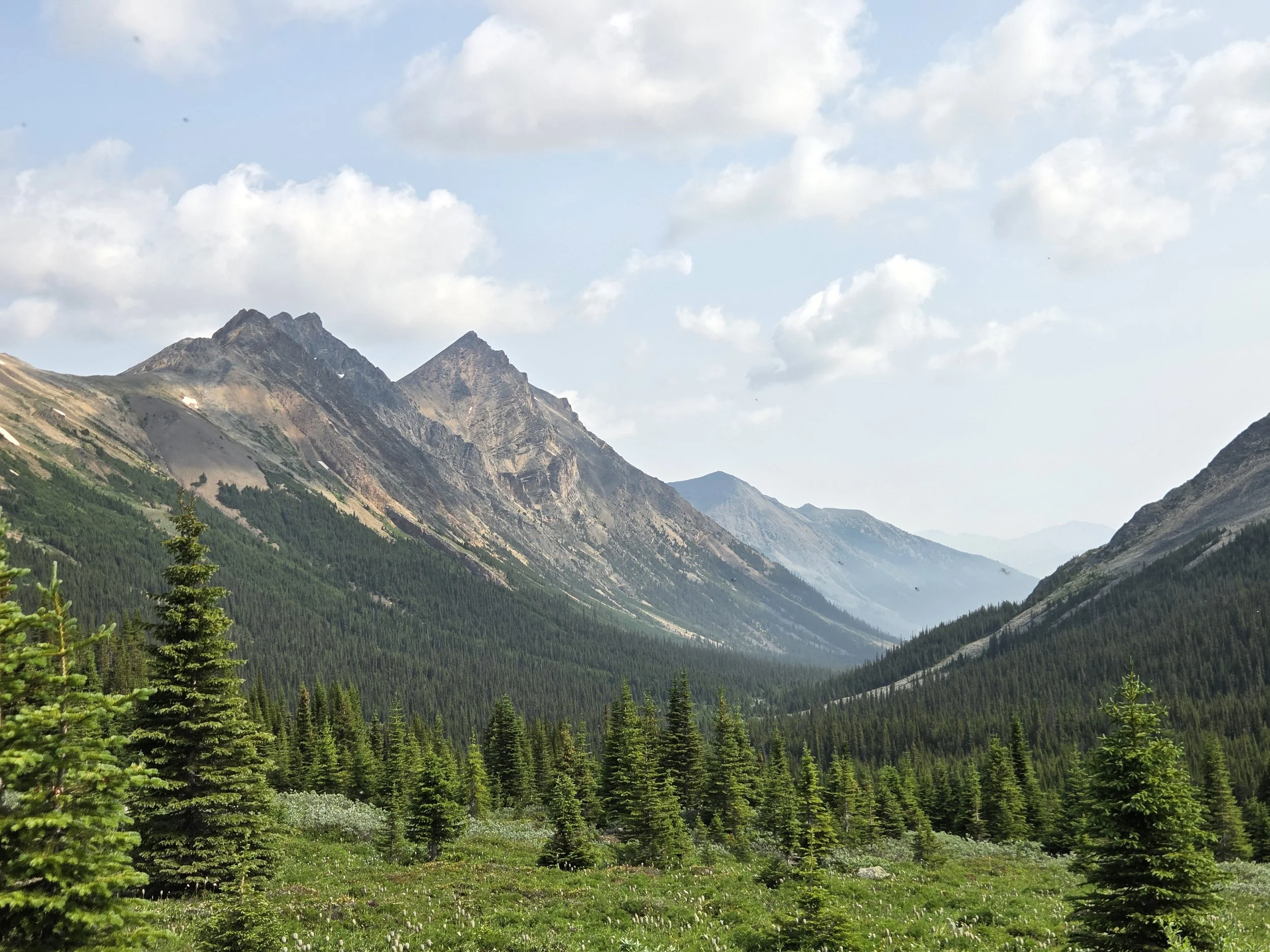
Views from near Maccarib Pass (Courtesy of my friend, note the mosquitoes in the top left corner!)
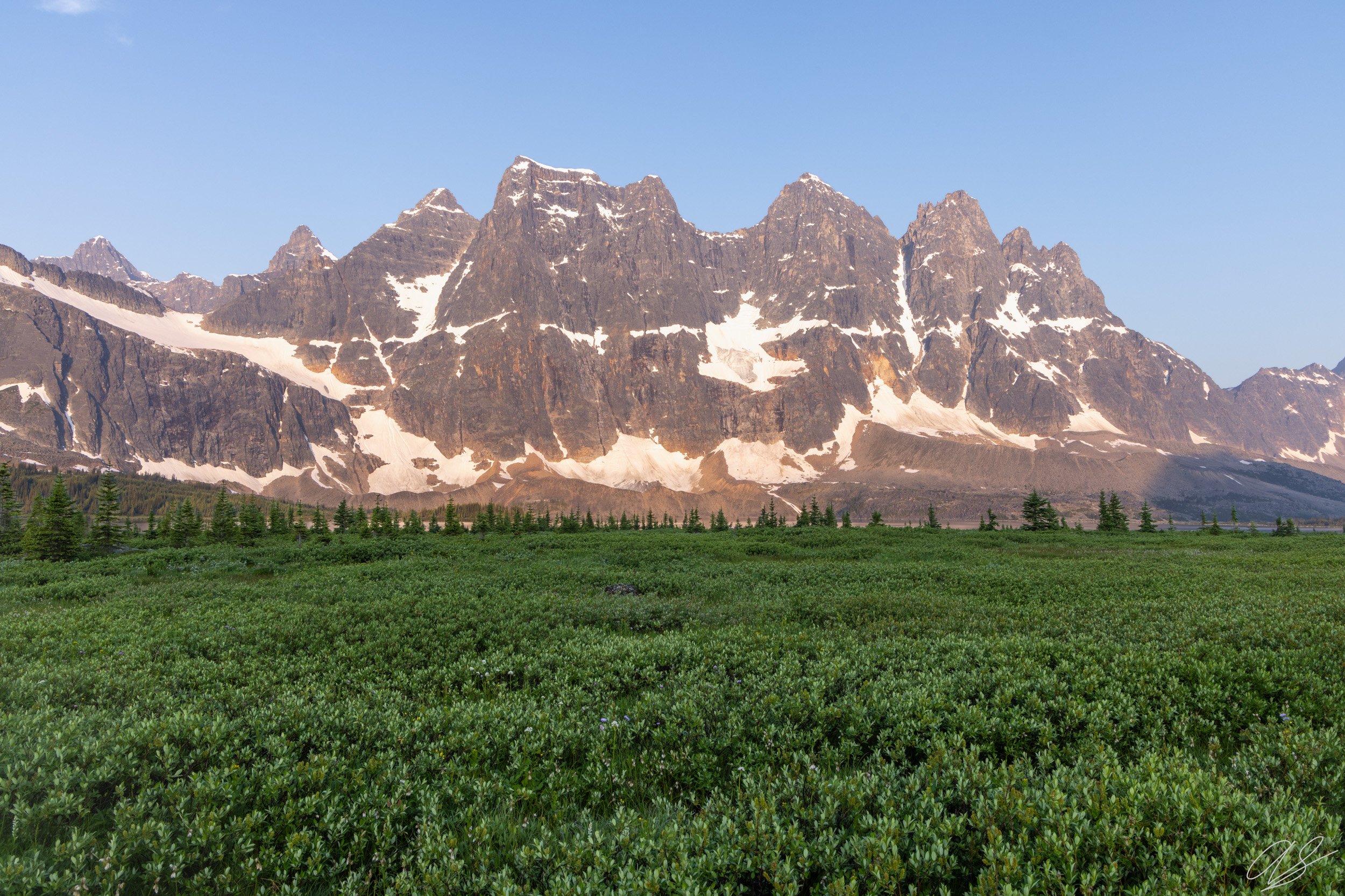
After about 13 miles of hiking, we finally reached the shores of Amethyst Lake, a stunning lake situated right at the foot of the Ramparts. This location is the crown jewel of the Tonquin Valley. We stopped at the Amethyst Campground and enjoyed a well-deserved soak in the ice-cold lake - with our bug nets on of course! The terrain around the lake was like nothing I had ever seen. The lakeshore was devoid of trees because the ground was soaked with moisture. Every step forward resulted in my foot sinking into the bog. I still was able to take some nice shots of the jagged peaks around the campground. This was a great afternoon stop!
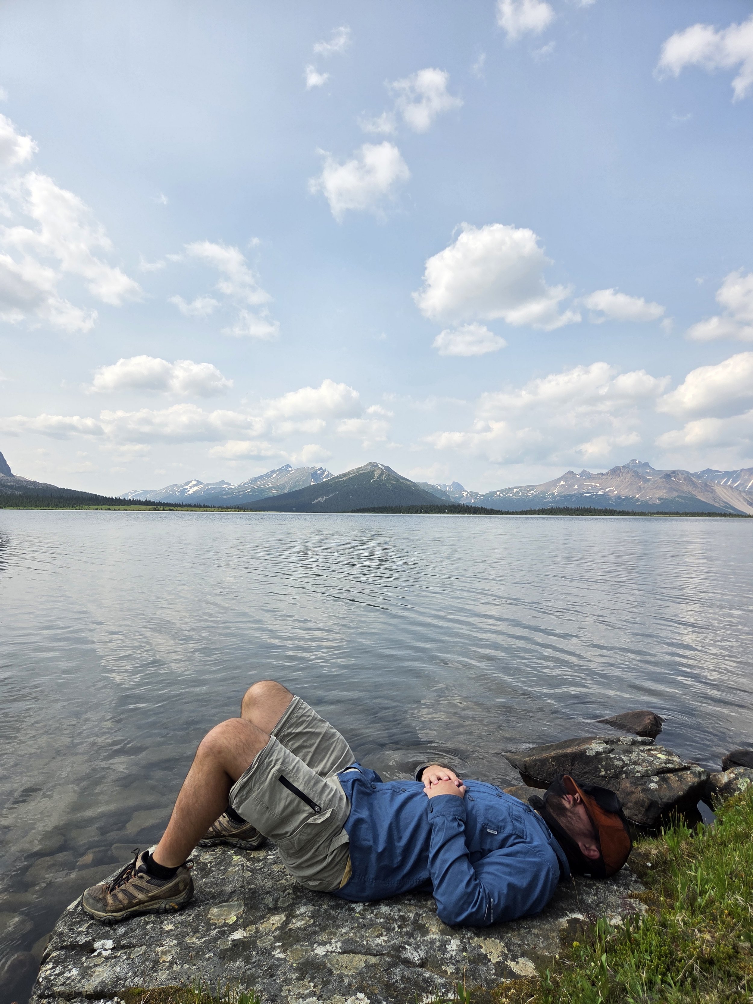
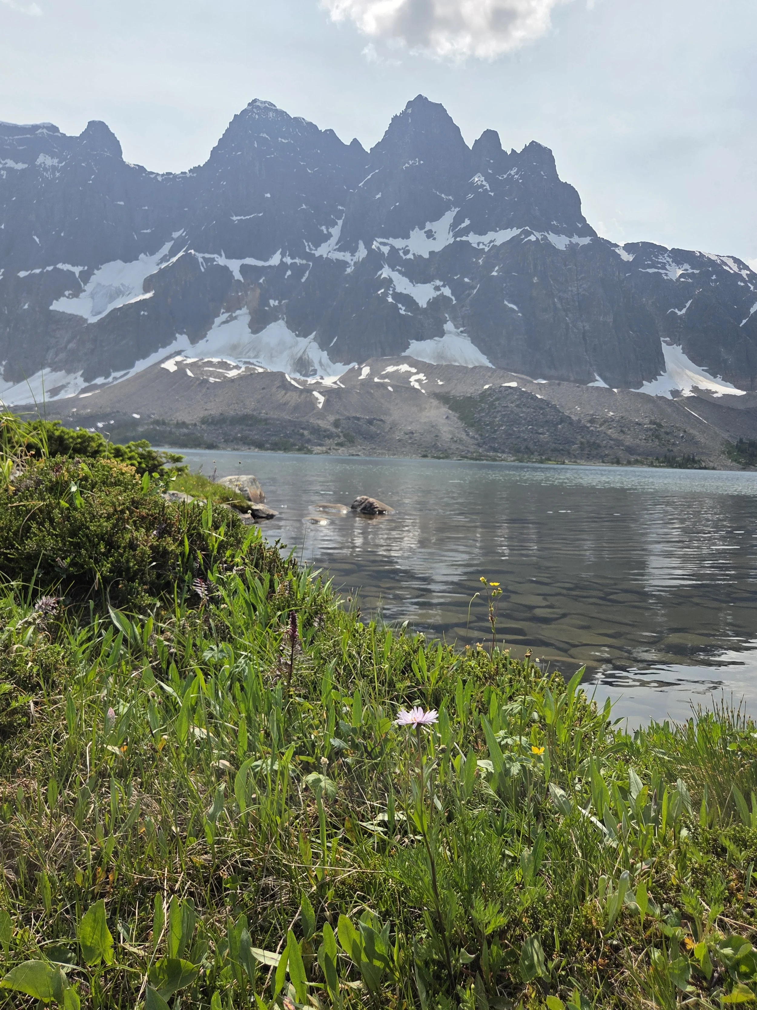
Views from our pit stop - we were gassed!
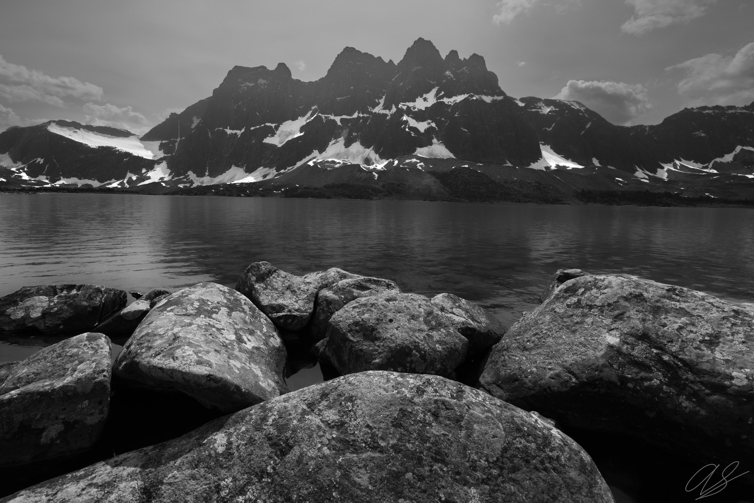
My best photo from the afternoon
Since we wanted to shoot sunrise on the north end of the lake the next morning, we continued hiking several miles to the Clitheroe campground. This campground sits several hundred feet above the north end of the lake, nestled in some beautiful spruce and fir trees. We decided to camp here because it was closer to the sunrise spot, but also because it was further away from the water, which I thought would make the mosquitoes a little better. I was wrong. The mosquitoes were terrible! Thankfully, we were able to apply bug spray and we set up a Thermocell - which successfully repelled them while we hung out, played cards, and ate dinner. After dinner, I decided to head down to the lake and scout out some compositions for sunrise. My friends were understandably tired after 17 miles of hiking and hung back at camp. As I followed the steep trail down from our camp to the lake, I re-entered the bogland. I saw several fresh grizzly prints in the thick mud - which was not a welcome sight at dusk!
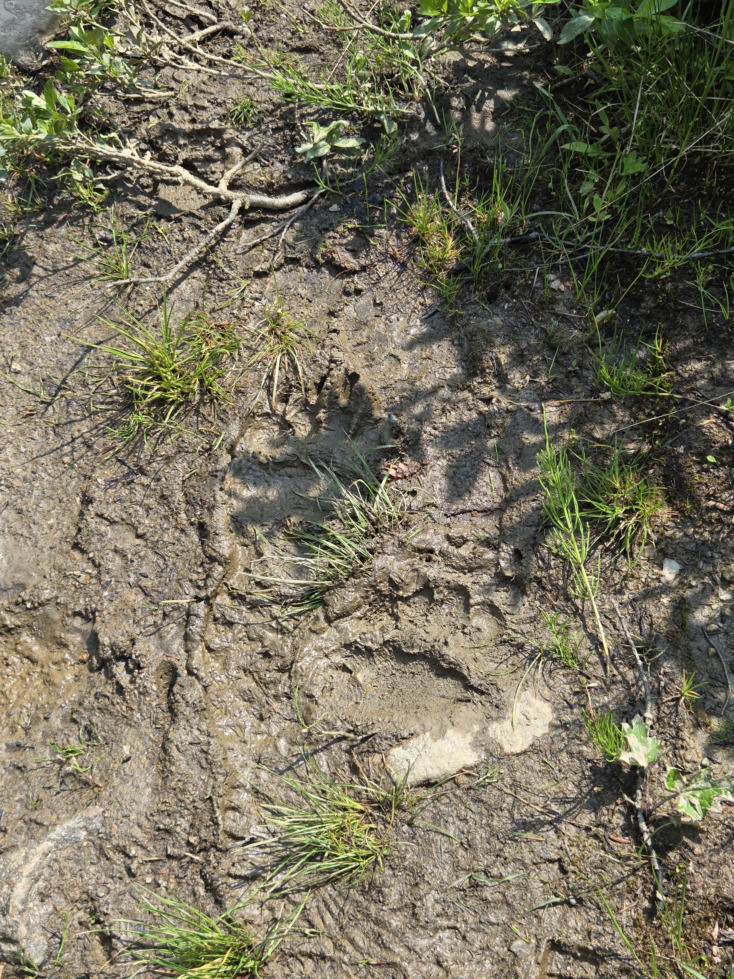
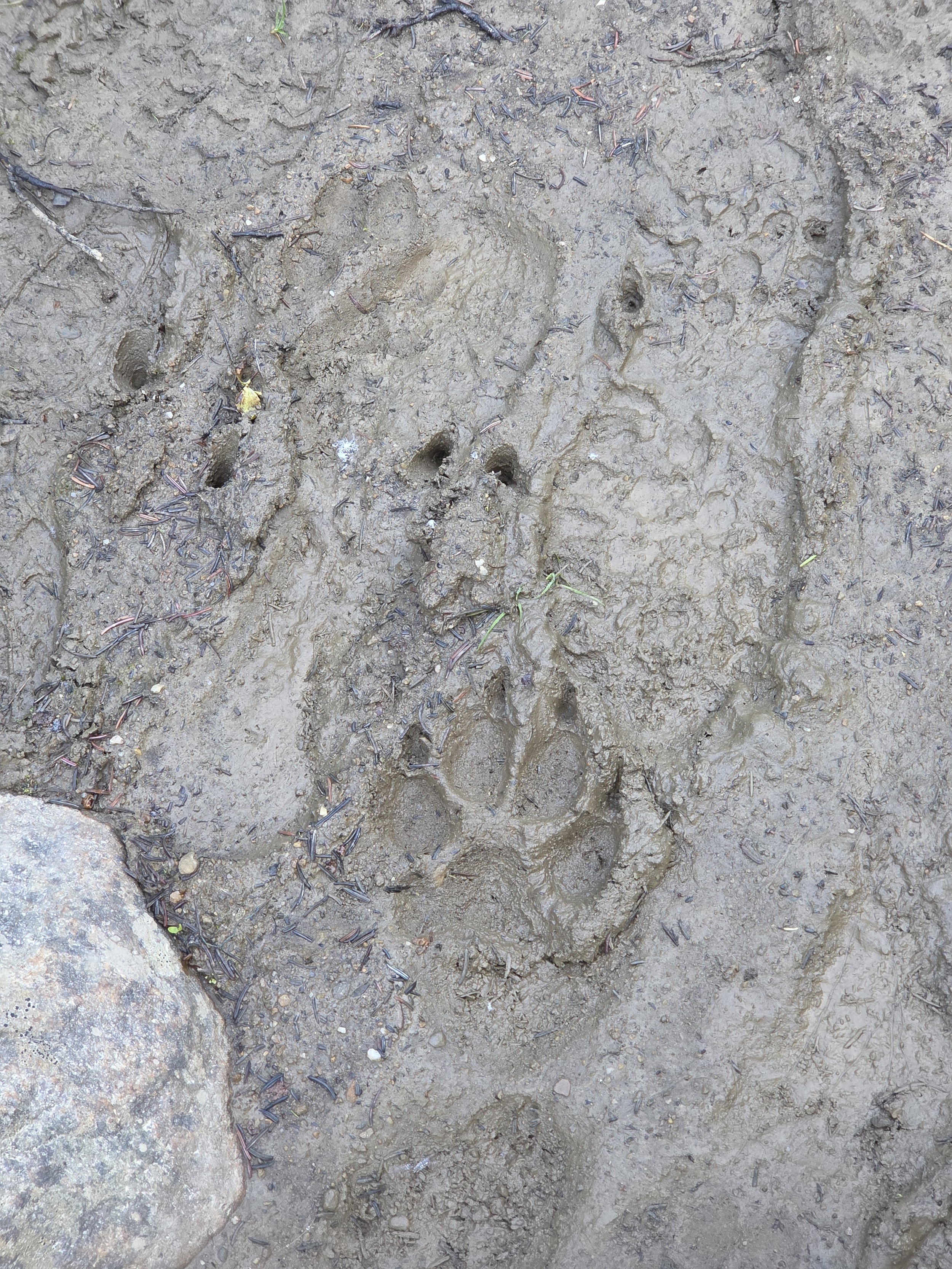
Wild prints!
Trekking through the bog was a crazy experience. I finally reached a bridge over the outflow of Amethyst Lake where I wanted to shoot. As I stopped to set up on the bridge, I was immediately surrounded by the most insane swarm of mosquitoes I had ever seen. Hundreds of them immediately attacked me. Thankfully, I had a bug net and my Arcteryx (for BUG protection), but I had forgot to bring gloves. Every time I took my hands out of my jacket sleeves to shoot, mosquitoes swarmed my hands. I have countless shots from that evening with mosquitoes in them! However, the suffering was worth it! I began to scout out several great compositions for the next morning.
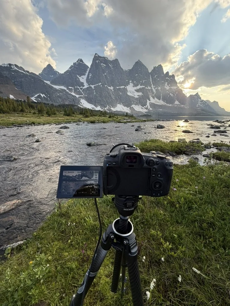
The setup
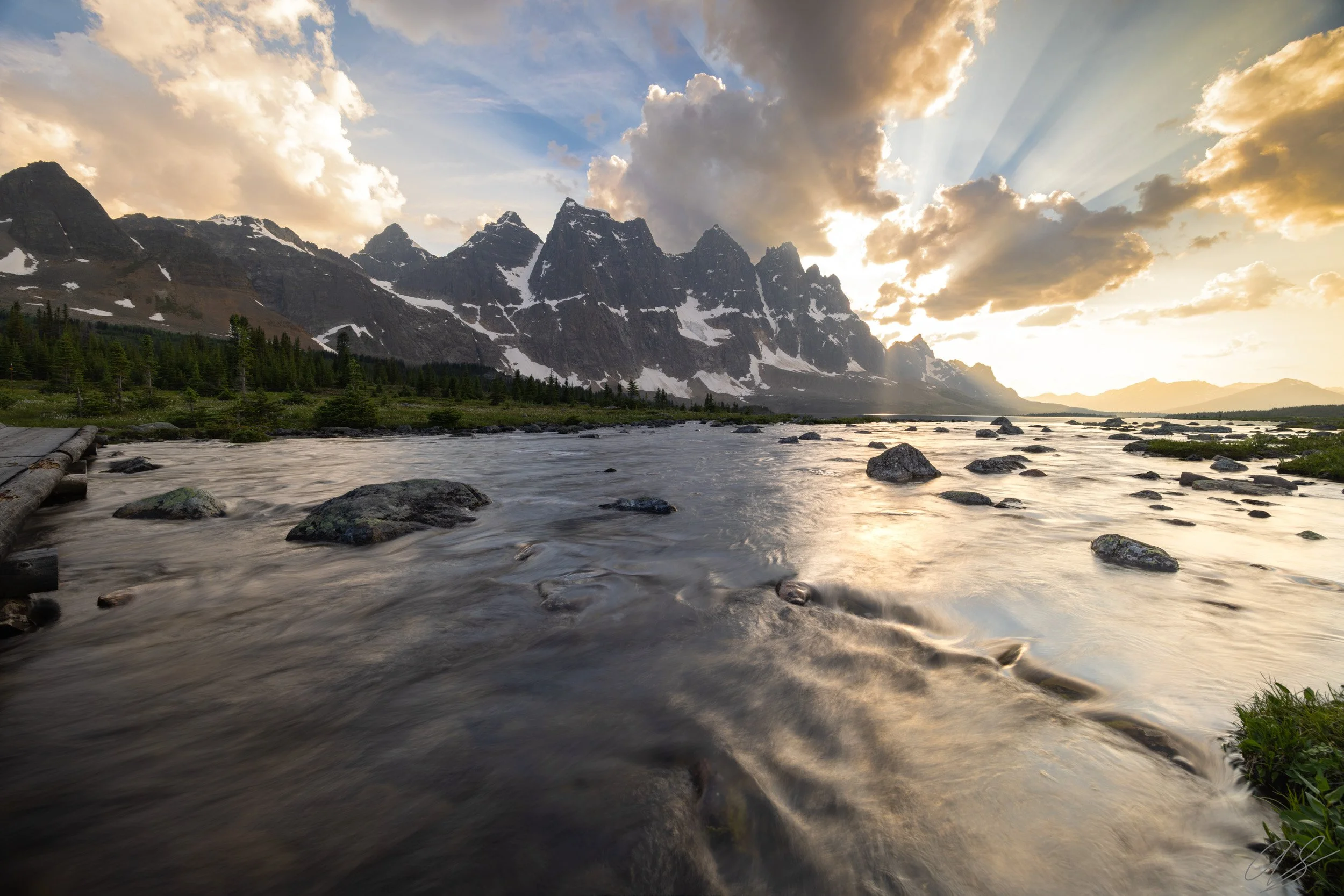
However, as the sun set, I ended up getting some of the most insane light I had ever seen. Smoke from wildfires in British Columbia had drifted in during the afternoon - shrouding the mountains in a light layer of haze. There was just enough smoke to cast some absolutely wicked rays of light from behind some passing clouds but not too much to ruin the scene. And of course, as I was shooting, a bald eagle flew over my head and perched himself on the top of a nearby spruce tree. Besides the mosquitoes, this was a perfect evening! Eventually though, I could not take it anymore, and I packed up and headed out. As I walked back through the bog, the mountains lit up in a golden haze. Truly a beautiful scene.
Ramparts at Dusk
We woke up early the next morning and headed down to the same spot for sunrise. More smoke had blown in overnight and made for a beautiful but muted sunrise. I was glad I headed down the night before. Regardless, it was fun to share this spot with friends and the mosquitoes were thankfully nowhere near as bad as the night before. We made breakfast and hung out for a while on the bridge before deciding to begin the 17 mile trek back to the trailhead.
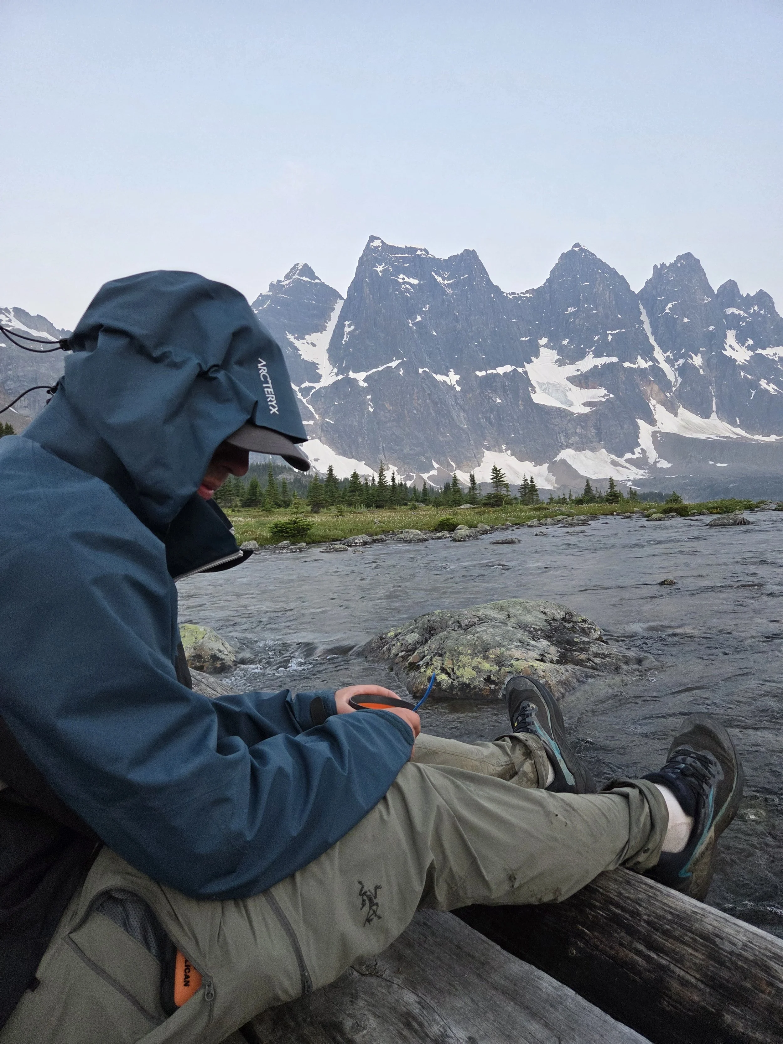
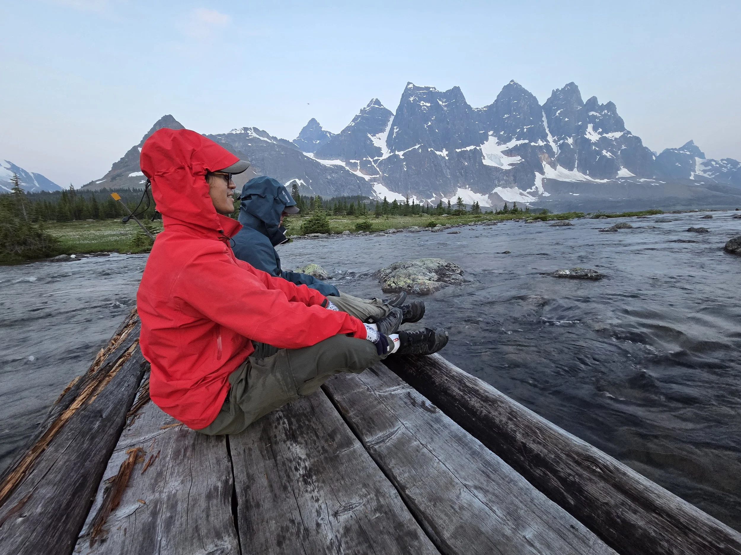
Aura farming with the Arcteryx before sunrise
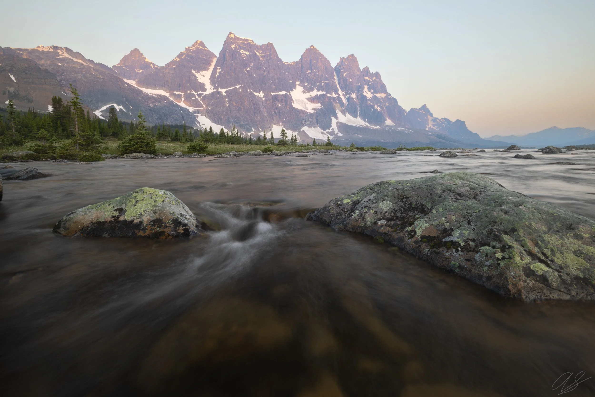
A peaceful sunrise in the Tonquin Valley
As we began our trek back we had two choices. Choice A was to head back up the hill towards our campsite on the trail - this was the safe option - but we were exhausted and did not want to trek the extra mileage and elevation gain. Choice B was a “trail” that showed up on AllTrails but not on the official map. It looked like it followed the lakeshore and cut off a ton of mileage and elevation. We decided to take it. About a quarter-mile in, we found why it was not on the map. The “trail” was just one giant mud pit straight through the densest part of the Tonquin bog! Our shoes were immediately soaked and covered with mud. Our trekking poles were useless - they sank straight into the mud and wouldn’t come out! About halfway through our slog, we came to a river crossing. Since our shoes were already soaked, we decided to just wade across it. Throughout this trail, we saw many different sets of prints - massive elk, moose, and grizzly tracks. It was quite a way to start the day!
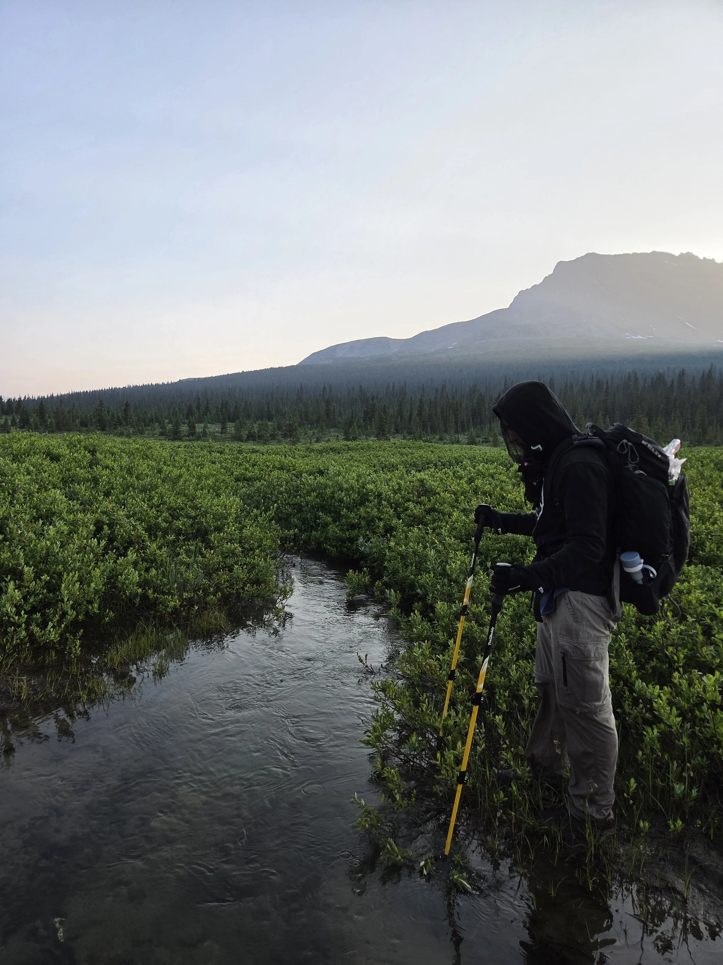
The creek crossing and morning views!
In the thick of the bog
As we emerged back onto the trail from our “shortcut”, we were relieved to get back to dry ground. It was a beautiful morning. The Ramparts glowed majestically and the rising sun lit up the scattered smoke in the valley.
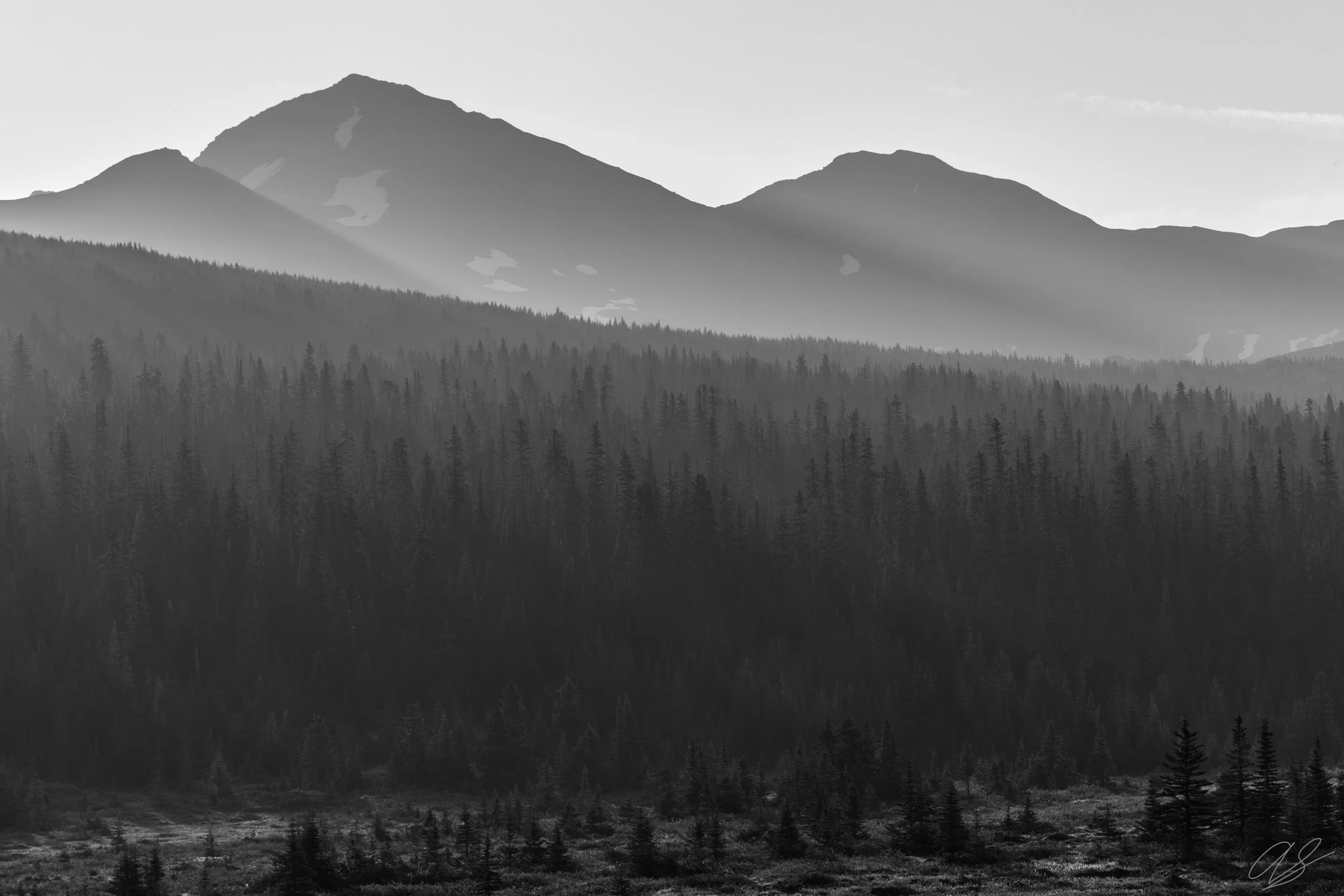
Smoke in the trees
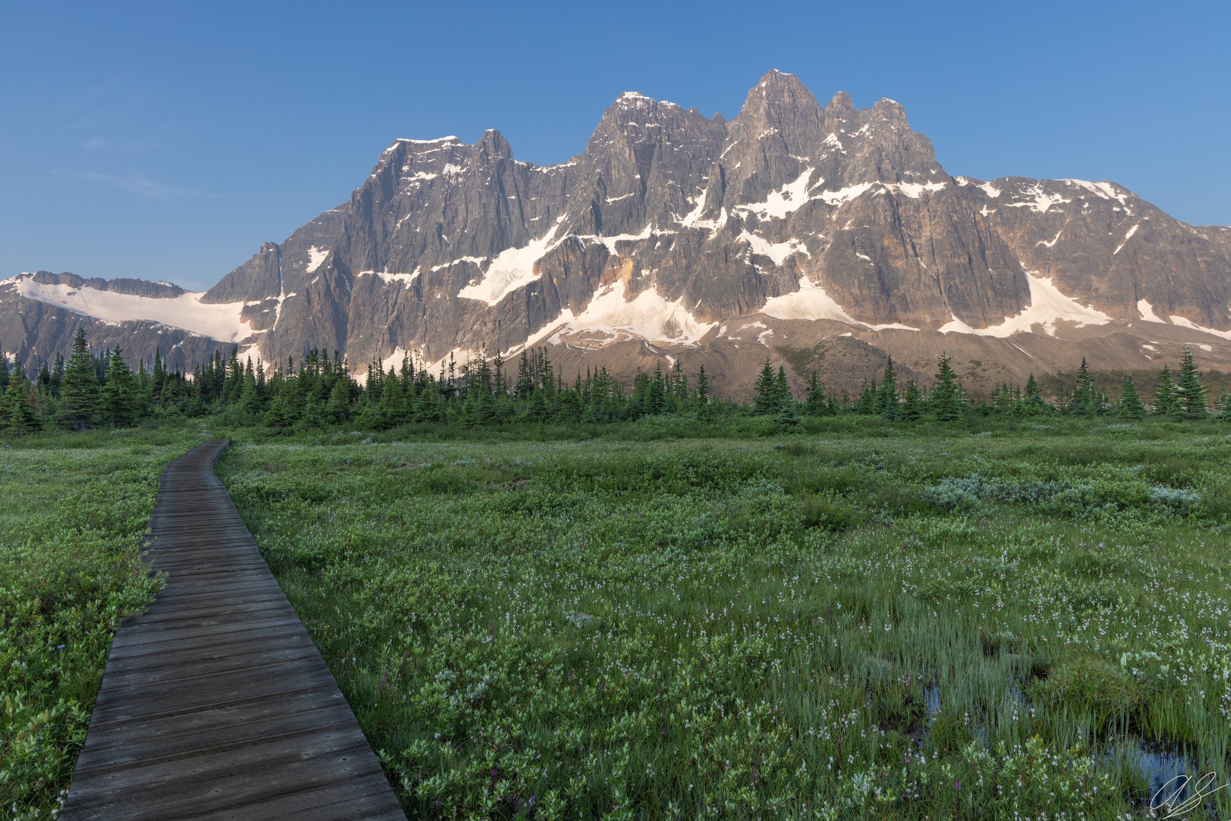
A boardwalk over the bogland
After taking these pictures, dodging countless mud pits on the trail, and about 17 miles later, we finally made it back to the car. While this trail is not recommended for a 2-day out-and-back trip, it was an awesome journey. The Ramparts are stunning and totally worth the long haul out to the Tonquin Valley!
